Legible Cities
Making cities walkable
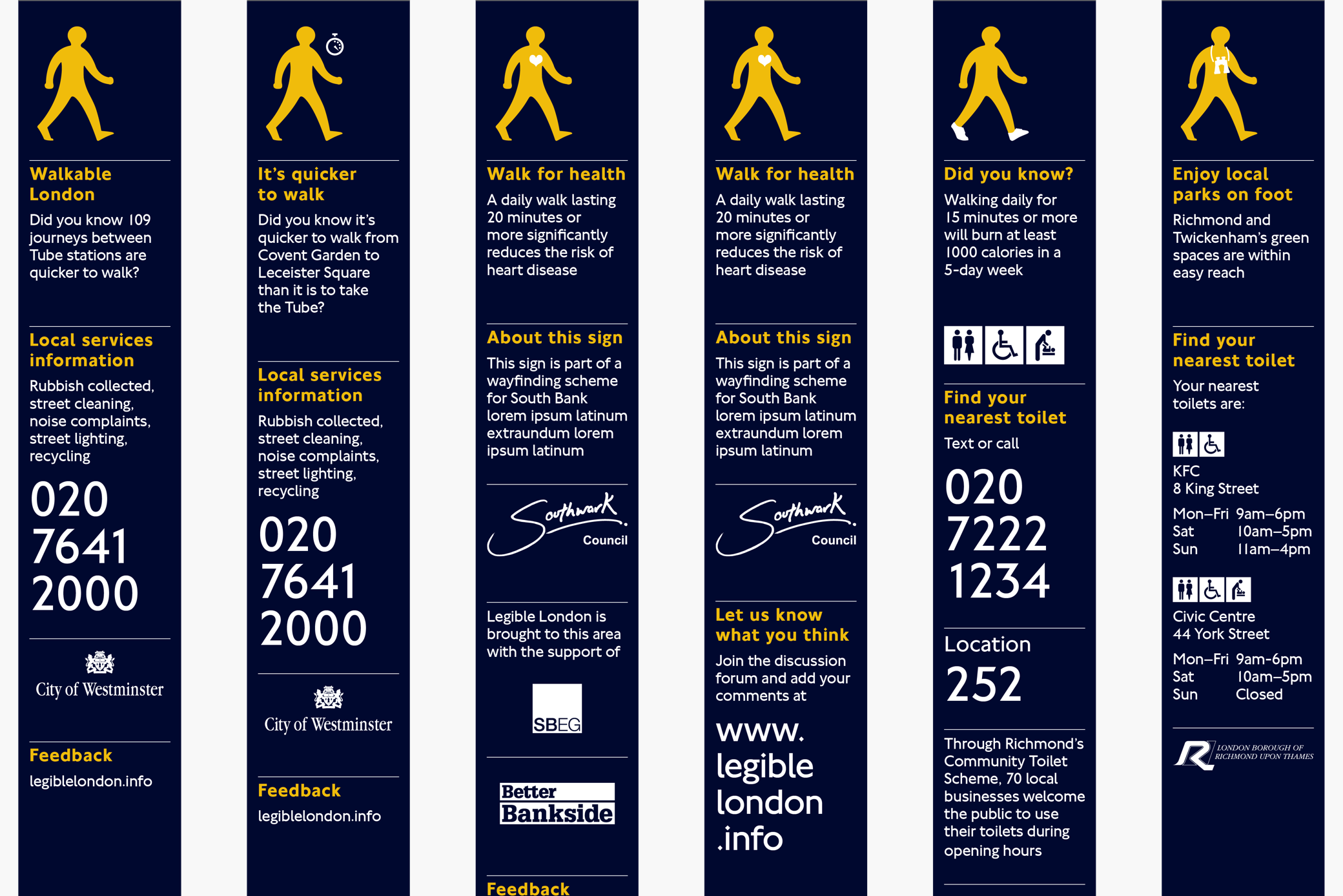
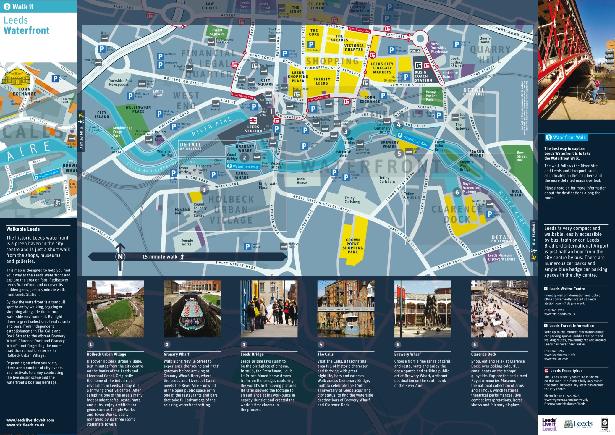
Walkability is a viable concern for local authorities and government in UK cities like London, Brighton and Leeds. Walking helps connect communities, boost local trade and culture, improve health and wellbeing, and make streets safer and cleaner. Increased journeys on foot (or by bicycle) ease other transport systems and combine with other measures to reduce carbon emissions.
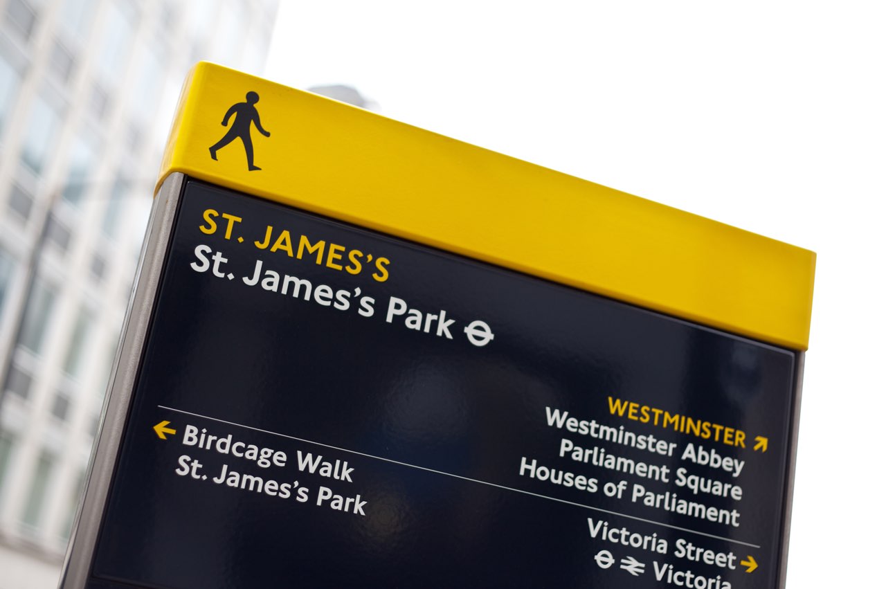
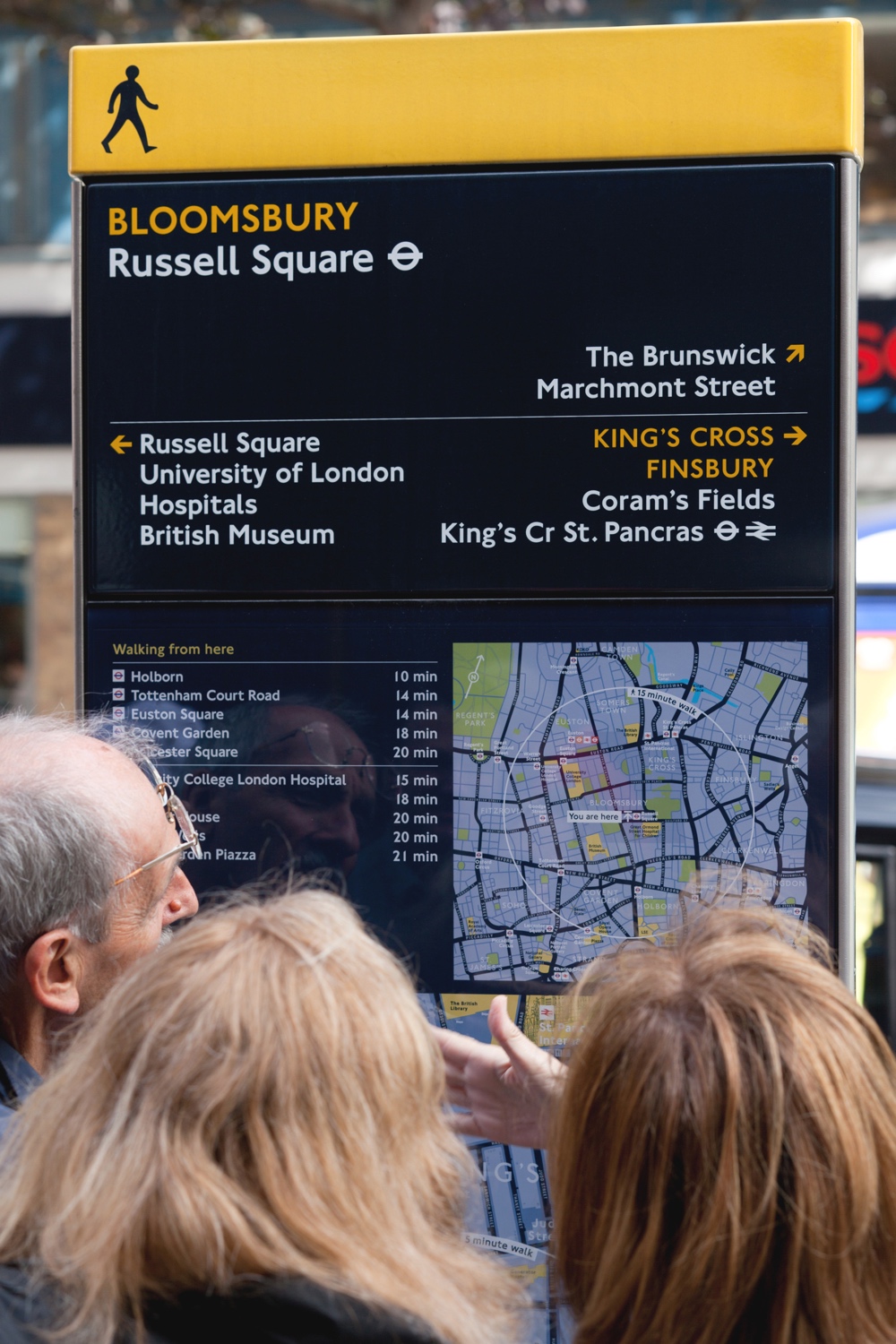
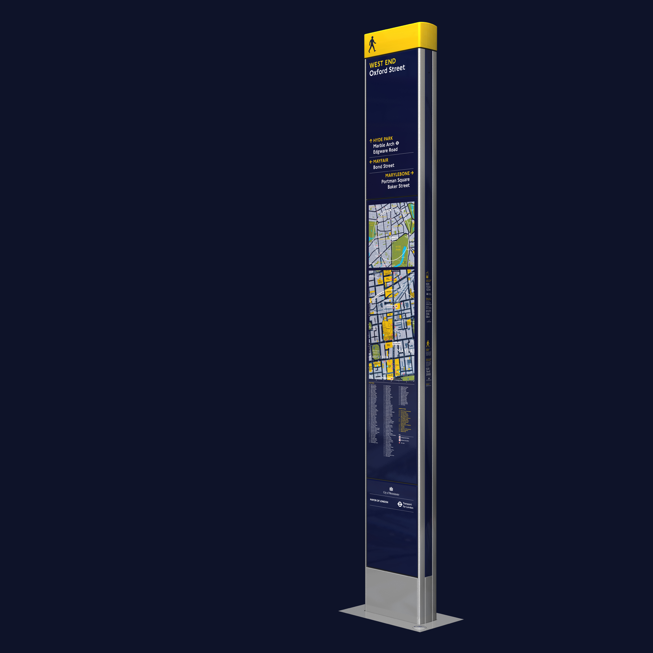
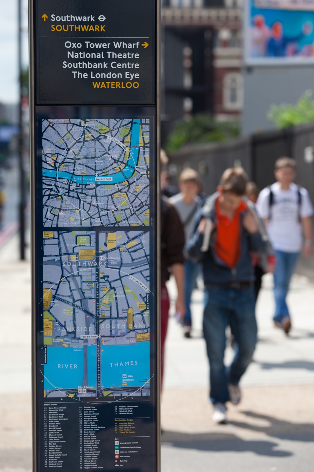
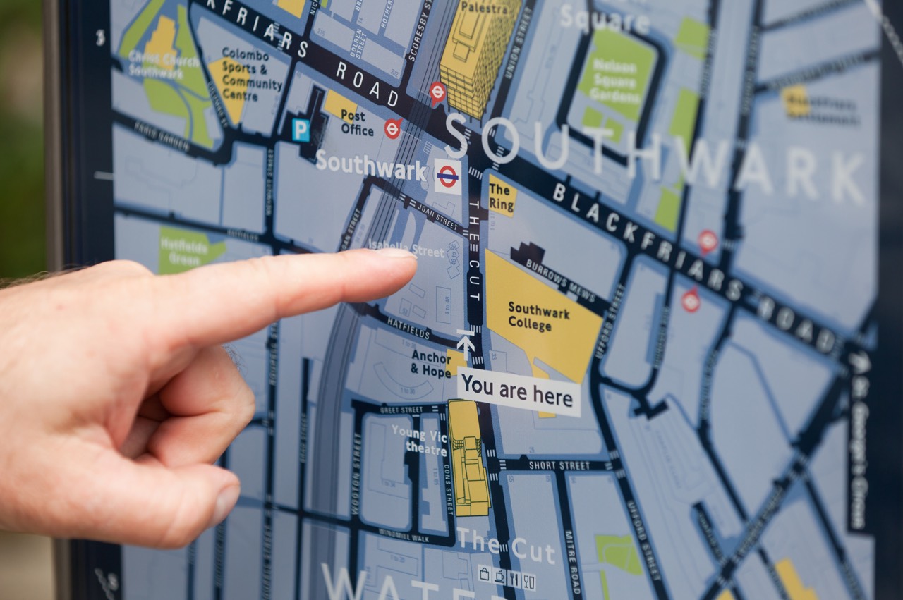
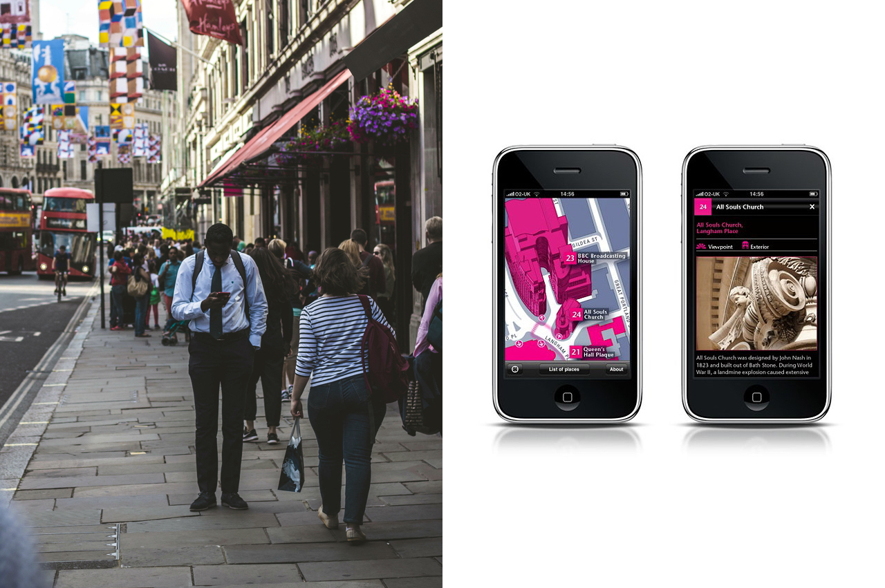
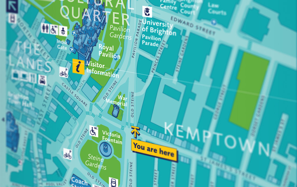
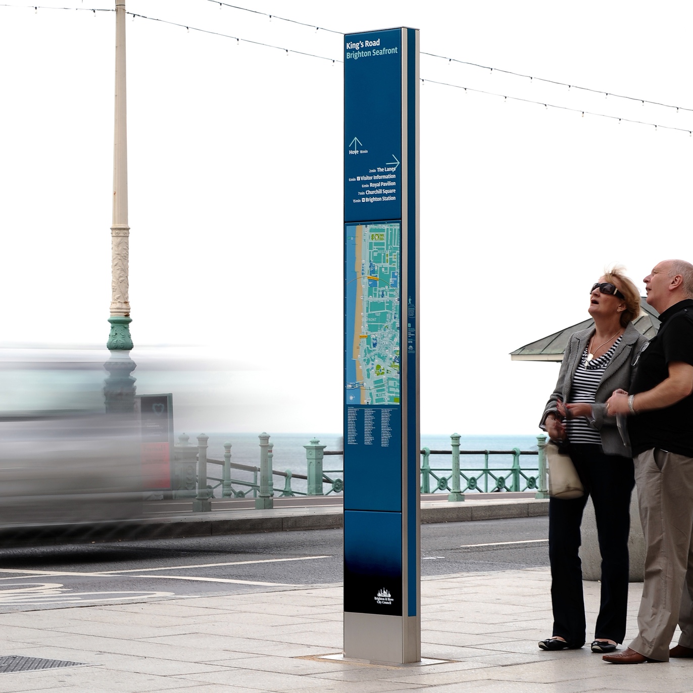
Legible London is a citywide pedestrian wayfinding system for the UK capital, the most comprehensive and innovative of its kind for a global city. Its signs form a network of information across London’s boroughs, supporting millions who walk around the city every day.
I joined Applied to work on how a prototype system of 19 signs, freshly installed in London’s West End, could be optimized and scaled across the city. I led intensive user research and design development to test and iterate on every element of the design, and arrive at a design standard for roll-out, documented across several volumes of highly detailed guidance. With these we directed a phase of pilot studies in four distinctive new areas of the city, before helping Transport for London take the reins for continued expansion.
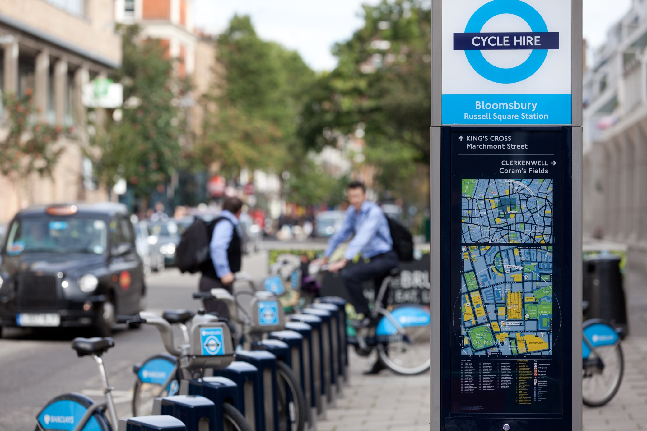
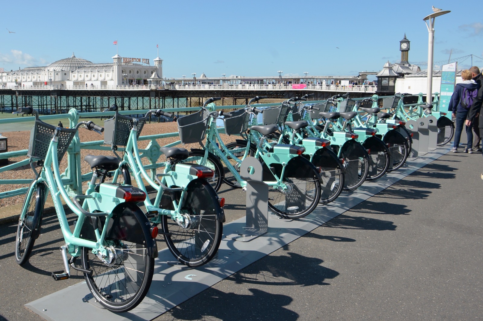
Legible London now numbers 1,700+ on-street signs, extending to local area walking maps in every Tube station, and powering the London Cycle Hire scheme and London Olympics wayfinding. An estimated 63% of journeys in the city are made on foot, up from just over half before the scheme’s introduction—steadily climbing towards the Mayor of London’s target of 80% by 2041.
The recipient of multiple awards, Legible London has been exhibited at MoMA (and, as an ubiquitous presence in the London streetscape, regularly makes cameos on the big screen).